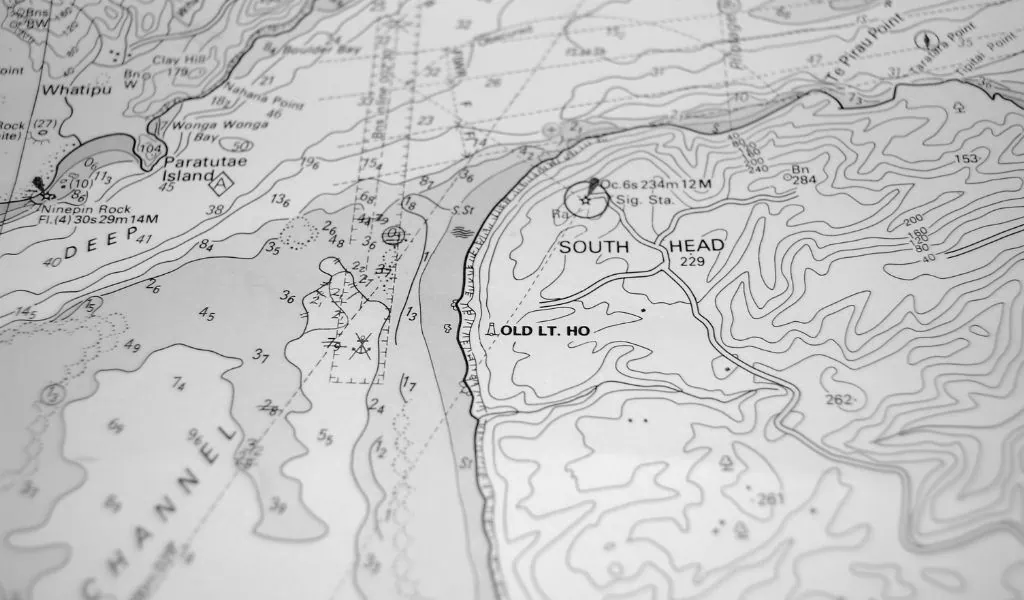
Did you know that the PortView map Is it much more than just a tool for finding a port? It’s the true starting point for any voyage: the place where you plan your journey, discover new destinations, and access features that support you before and during every getaway.
If you're sailing along the coasts of Spain and Portugal, this nautical chart It is designed so that arrive at every port with all the information you need and no surprises. We'll walk you through, step by step, everything you can do from there.
A nautical chart to help you plan your voyage from start to finish
For years, planning a stopover has meant combining paper nautical charts, VHF calls, WhatsApp messages, and a good dose of uncertainty when entering an unfamiliar port. The PortView map It brings all that scattered information together on a single screen, kept up to date and accessible from your phone.
The goal is simple: to help you make every decision—which port to head to, what services you’ll find there, and what the sea conditions are like—based on reliable data, not assumptions. Below, we’ll go over the key features that make this map the best co-pilot for your voyage.
More than 250 marinas with mooring assistance
The map includes more than 250 marinas and yacht clubs in Spain and Portugal, all visible in a single view. Just click on any of them to view their full details:
- Available Services: fuel, water, electricity, a crane, dry dock, and much more.
- Port Weather to assess the conditions before arriving.
- Contact information for getting in touch with a captaincy without having to look up the number elsewhere.
This fact sheet is the heart of the Map of Portview: It lets you compare destinations and make an informed decision about where to go, without having to rely on a last-minute call.
Find your next destination with the search tool
Do you already know which port you want to go to? The built-in search engine It lets you find it by name and go directly to its profile, without having to search the entire map.
It's the fastest way to prepare for your next sailing trip: you search, check services and the weather, and in seconds you have all the information about your destination. A feature that's especially useful for plan boat routes in advance and plan stopovers lasting several days.
Explore more than 396,000 nautical points of interest
The PortView map isn't limited to ports. It also integrates more than 396,000 nautical points of interest scattered along the coast, so that no crossing catches you off guard.
All of these boating attractions They appear as you explore the map or when you activate Augmented Reality, giving you a complete view of the environment you're navigating through.
Try Augmented Reality to help you find your way
One of the map's most innovative features is the Augmented Reality for Navigation. Activate it directly from the map and view ports and points of interest superimposed on the real-world image of your surroundings, using your phone's camera.
It's especially useful when you're approaching an unfamiliar pass, in low visibility, or when you need to identify what's ahead at a glance. The technology goes beyond being just a nice-to-have feature and becomes a real help in getting there safely.
Share information with the sailing community
The PortView map is also collaborative. Have you seen any jellyfish? Strong currents? A floating object in your path? You can create directly from the map itself alerts for sailors and to inform the rest of the community in just two taps.
These nautical alerts They help keep the information up to date and make navigation safer for everyone. They are temporary—they disappear automatically after 24 hours—so that the map always reflects the current situation. The more drivers who participate, the more valuable the map becomes for everyone.
All the information about the ports, always with you
The PortView map It doesn't just help you find ports—it helps you discover new destinations, plan your routes, and arrive better prepared before each voyage. It's the difference between setting sail with doubts and setting sail with confidence.
Bringing together ports, points of interest, weather, augmented reality, and community alerts in one place makes this nautical chart an indispensable tool for any shipowner, skipper, or crew member.
Frequently Asked Questions About the PortView Map
How many ports are included in the PortView map? The map includes more than 250 marinas and yacht clubs in Spain and Portugal, each with a detailed profile listing services, weather information, and contact details.
What other points of interest can I find besides ports? The map includes more than 396,000 nautical points of interest: lighthouses, beaches, anchorages, buoys, marine gas stations, restaurants, and other useful services to help you plan your voyage.
What is the map's Augmented Reality feature, and what is it used for? This feature overlays ports and points of interest onto the live view of your surroundings from your phone's camera, helping you navigate your way to the port, especially when you're unfamiliar with the area.
How do you create alerts for other sailors? Right from the map, you can report jellyfish, currents, or floating objects with just two taps. The alert is shared with the community and automatically disappears after 24 hours.
Do I need an internet connection to use the map? The map uses your phone's internet connection to show you up-to-date information. Check the terms of use for offline use within the app itself.
Start exploring the map today
The best time to discover everything the PortView map has to offer is before your next trip. Open the map, find your destination, check out its amenities, and try out Augmented Reality.